Waveland Press, Inc.
Publisher of college-level textbooks and supplements

1-4786-3710-2
978-1-4786-3710-3
© 2020
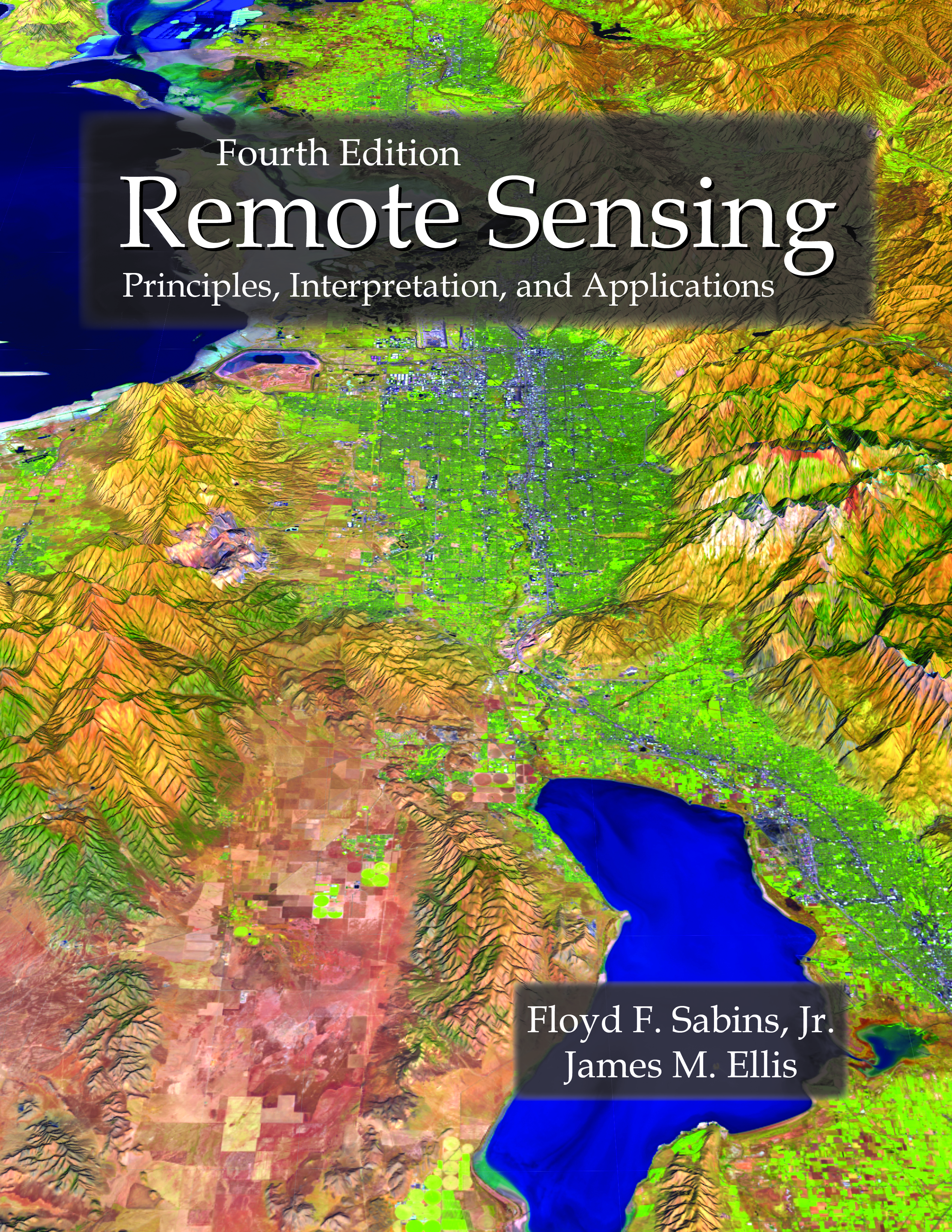
Remote Sensing
Principles, Interpretation, and Applications
Fourth Edition
The following support materials are provided so users can digitally explore examples of satellite and airborne imagery as well as learn how to display, process, and interpret images.
<Back>
README (PDF - 24M)
WARNING about COPYING Database Folders (PDF - 188K)
Chapter 1 Introduction to Concepts and Systems (ZIP - 1.2M)
Chapter 2 Aerial and Satellite Photographs (ZIP - 690M)
Chapter 3 Landsat Images (ZIP - 491M)
Chapter 4 Multispectral Satellites (ZIP - 497M)
Chapter 5 Thermal Infrared Images (ZIP - 128M)
Chapter 6 Radar Images (ZIP - 528M)
Chapter 7 Digital Elevation Models and Lidar (ZIP - 807M)
Chapter 8 Drones and Manned Aircraft Imaging (ZIP - 401M)
Chapter 9 Digital Image Processing (ZIP - 376M)
Chapter 10 Geographic Information Systems (ZIP - 65M)
